

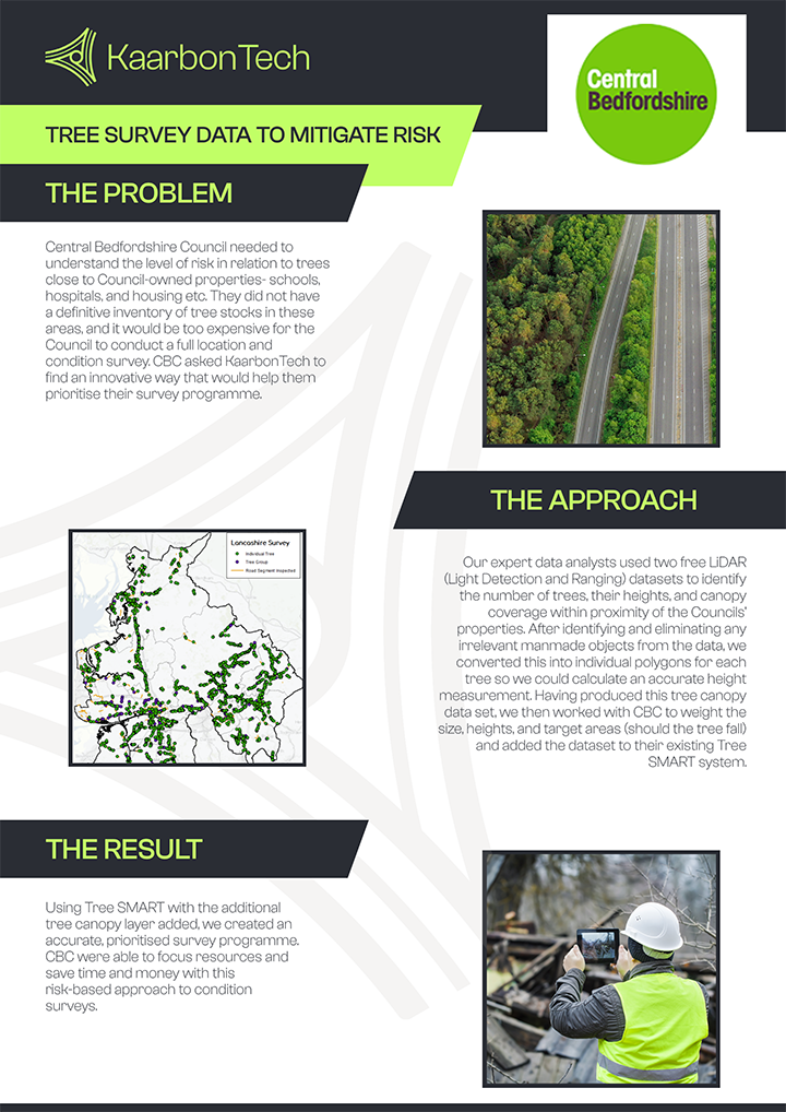
Central Bedfordshire Council needed to understand the level of risk in relation to trees close to Council-owned properties- schools, hospitals, housing etc. They did not have a definitive inventory of tree stocks in these areas, and it would be too expensive for the Council to conduct a full location and condition survey. CBC asked KaarbonTech to find an innovative way that would help them prioritise their survey programme.
Our expert data analysts used two free LiDAR (Light Detection and Ranging) datasets to identify the number of trees, their heights, and canopy coverage within proximity of the Councils’ properties. After identifying and eliminating any irrelevant manmade objects from the data, we converted this into individual polygons for each tree so we could calculate an accurate height measurement. Having produced this tree canopy data set, we then worked with CBC to weigh the size, heights, and target areas (should the tree fall) and added the dataset to their existing Tree SMART system.
Using Tree SMART with the additional tree canopy layer added, we created an accurate, prioritised survey programme. CBC were able to focus resources and save time and money with this risk-based approach to condition surveys.
"If our surveyors found trees that could pose a danger, a tree defect report was produced enabling the council arborists to wirelessly divert our tree surveyors to attend.
"
I am a
Looking for help with
Looking for help with
Asset Manager looking for help with:
Looking for help with:
Arborist looking for help with:
Looking for help with:
Can't find what you're looking for? Contact usCommercial Manager looking for help with:
Looking for help with:
Councillor looking for help with:
Looking for help with:
Director or Head of Service looking for help with:
Looking for help with:
Drainage Engineer or Flood Risk Manager looking for help with:
Looking for help with:
ICT Professional looking for help with:
Looking for help with:
Innovator looking for help with:
Looking for help with:
Operations Manager looking for help with:
Looking for help with:
Subcontractor looking for help with:
Looking for help with:
Can't find what you're looking for? Contact us