Effective communication and information sharing amongst stakeholders had been difficult in Oxfordshire. The absence of accurate asset knowledge from multiple parties providing network services was a barrier to improvement.
Stakeholders engaged in the management of the drainage network and reduction of flood risk across Oxfordshire included council flood risk engineers, Skanska, Thames Water, OnSite, OPC and Oxford City Council.
Faced with real budget reductions, there was a clear drive within Oxfordshire for both improved efficiency and better cost-effectiveness.
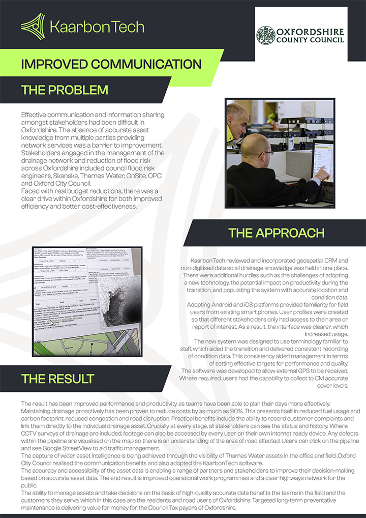
KaarbonTech reviewed and incorporated geospatial, CRM and non-digitised data so all drainage knowledge was held in one place.
There were additional hurdles such as the challenges of adopting new technology, the potential impact on productivity during the transition, and populating the system with accurate location and condition data.
Adopting Android and iOS platforms provided familiarity for field users from existing smartphones. User profiles were created so that different stakeholders only had access to their area or report of interest. As a result, the interface was clearer, which increased usage.
The new system was designed to use terminology familiar to staff, which aided the transition and delivered consistent recording of condition data. This consistency aided management in terms of setting effective targets for performance and quality.
The software was developed to allow external GPS to be received. Where required, users had the capability to collect CM accurate cover levels.
The result has been improved performance and productivity, as teams have been able to plan their days more effectively. Maintaining drainage proactively has been proven to reduce costs by as much as 90%. This presents itself in reduced fuel usage and carbon footprint, reduced congestion and road disruption.
Practical benefits include the ability to record customer complaints and link them directly to the individual drainage asset. Crucially at every stage, all stakeholders can see the status and history.
Where CCTV surveys of drainage are included, footage can also be accessed by every user on their own internet-ready device. Any defects within the pipeline are visualised on the map so there is an understanding of the area of the road affected.
Users can click on the pipeline and see Google StreetView to aid traffic management.
The capture of wider asset intelligence is being achieved through the visibility of Thames Water assets in the office and field. Oxford City Council realised the communication benefits and also adopted the KaarbonTech software.
The accuracy and accessibility of the asset data is enabling a range of partners and stakeholders to improve their decision-making based on accurate asset data. The end result is improved operational work programmes and a clear highway network for the public.
The ability to manage assets and take decisions on the basis of high-quality accurate data benefits the teams in the field and the customers they serve, which in this case are the residents and road users of Oxfordshire. Targeted long-term preventative maintenance delivers value for money for the Council Tax payers of Oxfordshire.
"Accessible, high-quality drainage data benefits crews and customers alike
"