

Watercourse Management with Risk SMART
2022 saw KaarbonTech win an LCRIG Innovation award in the Watercourse Management category. All winners received funding to develop their innovation or facilitate a trial of their product or solution on a local authority network. Our innovation is detailed below:
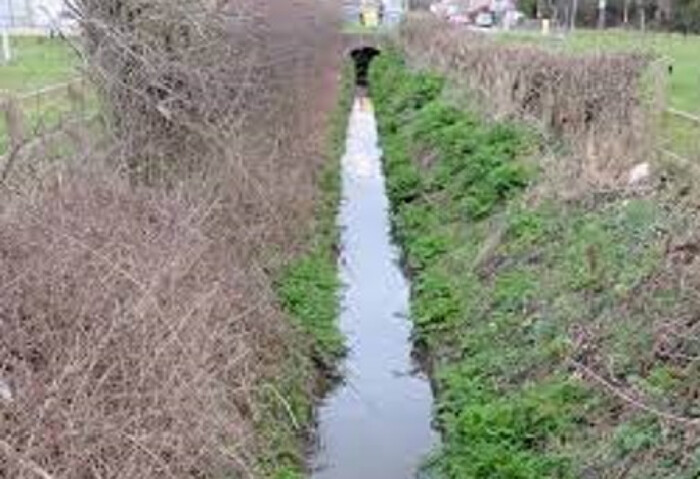
Watercourses play an invaluable part of a local authority flood risk and drainage network. When maintained, they can manage surface water run-off to alleviate flooding across a network. Watercourses are supported by a complex mixture of small culverts, trash screens, natural formations, grips and ditches.
The inspection of those elements, integration of IoT sensors or incorporation of pipeline surveying all contribute to their maintenance but are often deployed in isolation.
KaarbonTech brings together each element in one holistic map so stakeholders can see flow, connectivity, sensor data and pipeline surveys in one view. This combines surface water flood management and Water Authority data with the additional requirements of a Lead Local Flood Authority, allowing all drainage assets to be displayed in the same easy to use platform.
Pipeline CCTV survey integration revolutionises inspection of these vulnerable assets. Defect videos are automatically positioned along the pipeline, available to view in existing Gully SMART software, accessed from any smart phone or device.
These surveys clearly show the condition and gradient of watercourses in great detail, collecting accurate and auditable data to ensure suitable decisions are being taken to reduce flood risk and plan appropriate maintenance. In addition the videos can be used in combination with IoT sensors or ‘live view’ CCTV to inspect trash screens and head walls as well, showing flood risk in areas that are hard to reach or giving a more efficient and time-saving way to carry out inspections.
Using CCTV surveying in culverts that serve watercourses is particularly beneficial, to understand the maintenance requirements and build a detailed record, understanding if adequate flow can be achieved. Comparisons can be made from one survey to the next at exact locations, as the video is automatically positioned geographically in the software. CCTV can also show connectivity, access points or reliance on each watercourse, and the data shared with the relevant partners. As Water Authority and highway drainage data is all available on one system a complete picture of connectivity is available.
The Benefits
Able to understand maintenance requirements at any point along a watercourse.
Data is held and shared through existing software and feeds into other utility software.
Filter by pipeline, defect or gradient.
Clear pdf reports are interactive with video links, produced in a single click.
Share survey data with contractors with no restrictions on software.