Cumbria County Council had an array of outdated drainage data held in numerous places, making effective drainage programming a challenge.
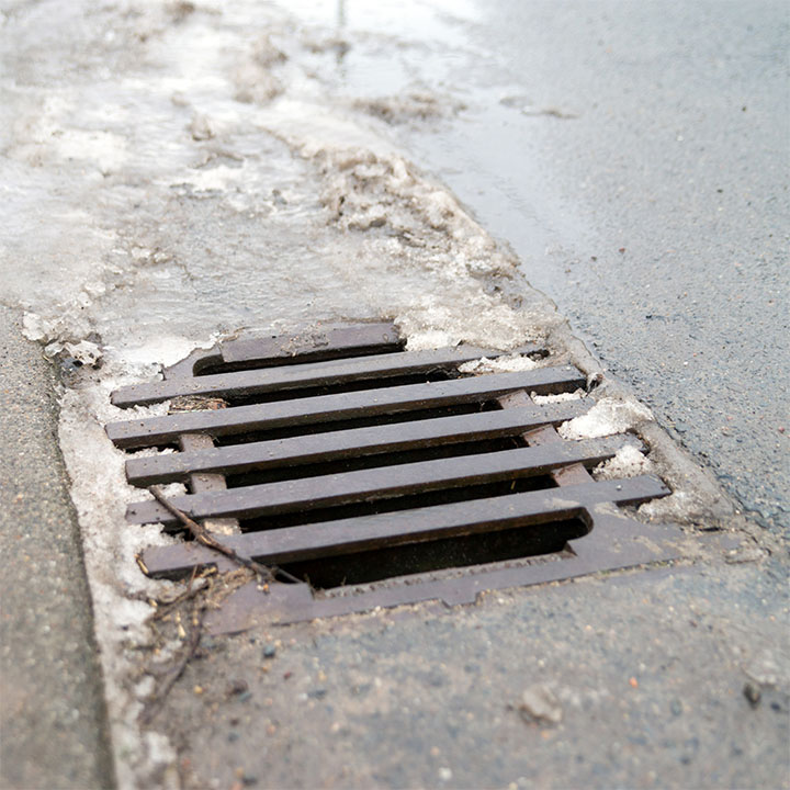
Cumbria Council had no digital records of drainage data and lacked a mechanism for storing and viewing it. Historically, any data collected was stored in a paper-based system, leaving the local authority vulnerable to errors, loss and confusion. They wanted to increase efficiencies and allow better collaboration and sharing across field and office teams, as well as improving programme management and asset maintenance.

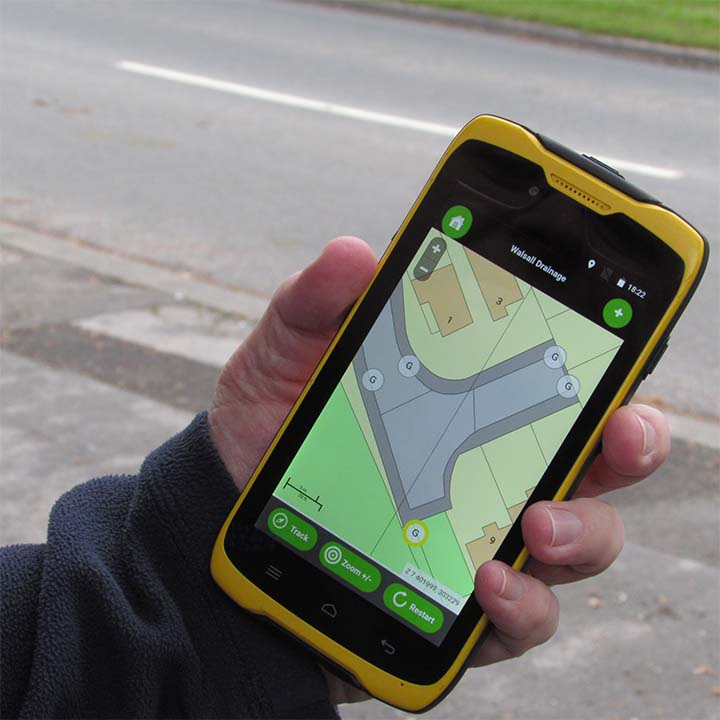
A complete inventory of all existing, new data and CCTV footage was created, mapped by location and uploaded to Gully SMART.
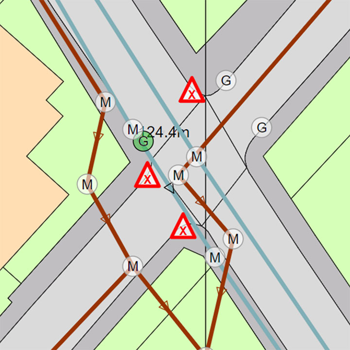
The KaarbonTech team were provided with recent data when 19 CCTV projects had been carried out. 660 individual surveys were uploaded into Gully SMART, with additional information manually added, and mapped by location. Additional assets were added to create the bigger picture, including channels, gullies, catch pits, manholes and more. This allowed the Council to see their gully network in far greater detail than previously, including any CCTV videos at the relevant locations. It provided an overview of the number of assets and types, alongside their location.

Cumbria County Council has a fully digitised view of its drainage system, can identify risk and work collaboratively for greatest efficiency.
95% of surveys were successfully matched to channels within Gully SMART, with further assets added manually. This provided Cumbria County Council with a digital picture of their drainage network, giving them improved visibility of their assets and allowing them to more accurately identify risk. This led to enhanced sharing and collaboration, as well as better informing their maintenance and programming.

"KaarbonTech improved the resilience of the Cumbria drainage network, and their information enables us to allocate resources more effectively.
"
